Category: Latest News
Next Hike, Sunday 15th September
Hike, Swim and Sauna Sunday 15th September Leaders Ruth Murphy and Nicola Burke Route: Bray Train Station Bray head, Little Sugarloaf, Kindlestown Hill, Greystones Distance 17 Km Ascent: 550 Meters.
Read MoreNext Hike, Sunday 8th September
Leader: Shauna O’Hara Route: Baravore car park * Fraughan Rock Glen *Lugnaquilla * Cannow mountain * Camenabologue * Table track *Baravore car park Distance: 19.5km Ascent: 950m
Read MoreSummer Trip to the French Alps
There will be no club hikes for the next two weekends due to the club’s trip to France.
Read MoreNext Hike, Sunday 11th August
Leader: John McNaboe Route : Laragh Church Carpark Brockagh SE Top~Brockagh Mtn. ~Tonlegee~Stoney Top~Wicklow Gap~ St Kevin’s Way~ Glendalough Distance: 18Km Ascent: 770 Metres
Read MoreNext Hike, Sunday 28th July
Leader: Philip Mortimer Route: Glenmacnass Carpark, Tonlegee N.E. Top, Tonlegee The Brockaghs, Church Carpark Laragh, Laragh. Distance: 15 Kms Elevation: 550 Metres
Read MoreNext Hike, Sunday 21st July
Leader: Caoimhe Ruigrok Route: Laragh ~ The Brockaghs ~ St Kevin’s Way ~ Glendalough Upper Carpark. Woodlands Walk and Talk Finish at Lynams Laragh Distance: 15 Km Ascent: 540 Metres. The hike will include a Walk and Talk from Crann…
Read MoreNext Hike, Sunday 14th July
Route:Glendalough –Camaderry South East Top Camaderry –Glenealo Footbridge – Spinc –Mullacor –Cullentragh –Glenmalure Lodge. Distance: 20 KmAscent: 958 Metres.
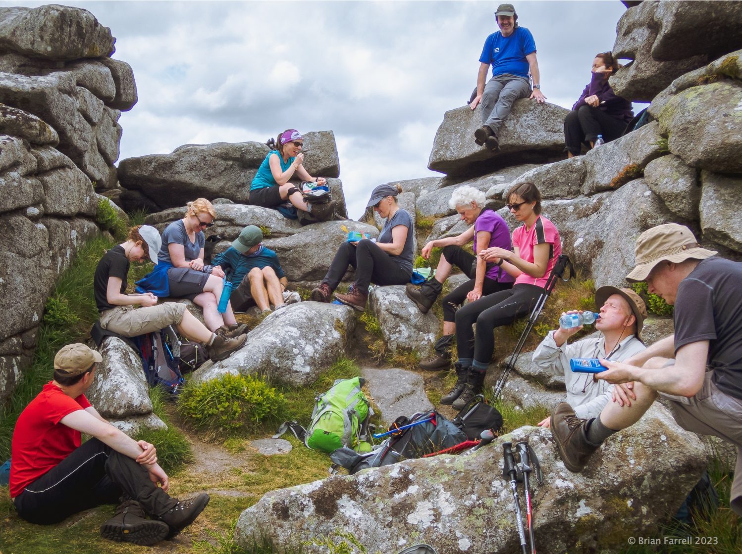
Read MoreThank You 📸
Thank you to the following members for their continuous contribution of photos on weekly hikes. Brian Farrell Irena Blazevic Caoimhe Ruigrok Warren Lawless As a token of appreciation the club will cover the cost of the bus fare for their…
Read MoreNext Hike, Sunday 7th July
Leader: Pat Drew Route: Ballinabarny gap ~ Ballinneddan ~Slievemann ~Lugnaquilla~ Camenabologue~Knickeen Ford Distance: 16km Ascent: 770 metres.
Read More
Recent Comments